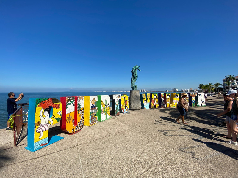
Perhaps because of my love of travel, I also love maps. My favorite retail store in Seattle now is a place near Pike Market called Metskers Maps on First Avenue. Not a trip goes by that I do not visit Pike, and Metskers. Over the years, I must have touched every country in the world, in some fashion. I also enjoy looking at a real map, not google maps when I am headed to a new place. But this article I recently found, changes the way we look at maps. It is of course, based on military need, not the need to travel. And from our friends in the former Soviet Union, of course. Here are the first few paragraphs:
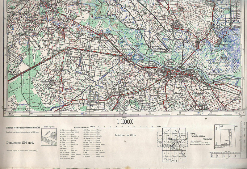
DURING THE COLD War, the Soviet military undertook a secret mapping program thats only to light in the West. Military cartographers created hundreds of thousands of maps and filled them with detailed notes on the terrain and infrastructure of every place on Earth. It was one of the greatest mapping endeavors the world has ever seen.
Soviet maps of Afghanistan indicate the times of year certain mountain passes are free of snow and passable for
travel. Maps of China include notes on local vegetation and whether water from wells in a particular area is safe to drink. The Soviets also mapped American cities in remarkable detail, including some military buildings that dont appear on maps of the same era. These maps include notes on the construction materials and capacity of bridges—things that would be to know without people on the ground.
Now, I happen to know that the U.S. Air Force did the same thing. A friend of mine was drafted into the service, as a cartographer. Of all my friends, he has probably been to the most countries of anyone! Even you, my hero, Katy!!! This is what author Greg Miller said about the U.S. effort:
Maps made by U.S. and British military and intelligence agencies during the Cold War tended to focus on specific areas of strategic interest. Soviet maps contain plenty of strategic information too—like the width and condition of roads—but they also contain details that are unusual for military maps, such as the types of houses and businesses in a given area and whether the streets were lined with greenery.