About fifteen years ago the National Park Service changed the name of Toroweap to Tuweap. Keep in mind that all the signs to guide you there are BLM Toroweap signs. I consider this the best overlook of the Grand Canyon cuz it is the narrow section of the canyon (about 500 feet wide gorge and 3000 feet down). This is where Evil Knevil wanted to jump the Grand Canyon on a motorcycle long ago. Evil (Robert) Knevil got a permit to jump from the Hualapai Tribal Authority, but could not get a permit from the Park Service.
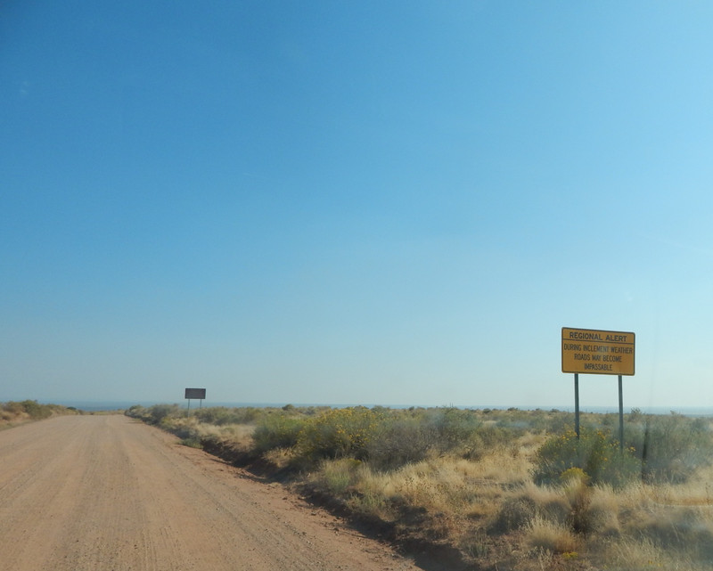
From Fredonia, Arizona I drove West on Arizona Hwy 389 and entered the Indian Reservation and turned South on the BLM (Bureau of Land Management) Toroweap road mostly crossing Antelope Canyon. (About sixty five miles total to Toroweap Point.) Not far from the highway are warning signs of an unimproved road and no services. The BLM does grade the road to keep it passable...but the National Park Service does no road maintenance.
I drove South through Antelope Valley where some drainages are not passable with rainfall and flowing water. (There are a few live ranches in Antelope Valley and Toroweap Canyon.)
Things got more scenic when I entered Toroweap Canyon. Toroweap Canyon is an extinct fault line running about thirty miles South to the North Rim of the Grand Canyon; with extinct volcanoes on the West Side of the canyon. At the North Rim is Vulcans Throne, the extinct volcano that damned up the Colorado River making the Grand Canyon a lake for centuries until the river ate through the basalt lava, leaving Lava Falls at the bottom and detached basalt on top of the South Rim.
I knew that camping at the Toroweap overlook was no longer legal, so I looked for a legal camp in the BLM land. From my BLM map I saw that the last mile before entering the park was Arizona State land, and I did not know if camping was legal there. At the cattle guard outside the state land I made my legal camp (BLM land) in the open, by the Toroweap Road, in Toroweap Canyon.
The next morning after my long coffee break I drove South. At the cattle guard for the park service the road started to get rough. After I passed the Park Headquarters the road got very
rough and the last three miles to the Toroweap overlook took well over an hour to drive. The road turned into four wheel drive, then very bad four wheel drive. There were spots with large holes in the trail where I made a stop to throw rocks into the holes to keep me from destroying my truck as I drove. (I did not want to walk home!) I did see mostly street legal special built trucks with very large springs and shock absorbers that could handle the bad trail. Long ago this trail was passable in two wheel drive and I saw cars driving carefully then.
At the Toroweap overlook there were two picnic tables where I camped many times when it was legal. The overlook is more then a quarter mile long on the North Rim with views changing as you walk very carefully. Since the drop off to the Colorado River is 3,000 feet deep, if you mess up and fall off, you would have time to think about your error and scream!
I first walked down river to see the volcano and two major basalt lava flows. At the rim you can hear the faint
sounds from Lava Falls at the bottom. Then I walked back to the picnic area to doctor up my minor wound.
Then I slowly walked upriver for a few hours of the best viewing of the Grand Canyon. I spent more time sitting and looking then walking. This is a very special place on Mother Earth, if you can put up with the BS from the park service. When my water supply got low I walked back to the picnic area and to my truck, White Thunder.
Then it was time for me to leave for other adventures. It takes four wheel drive just to leave the picnic area. On the bad 4X4 trail there was traffic in their expensive machines. They were very polite drivers and they (or me) would find a wide spot to get off the narrow trail to allow passing. I was happy to leave the park for some normal driving.