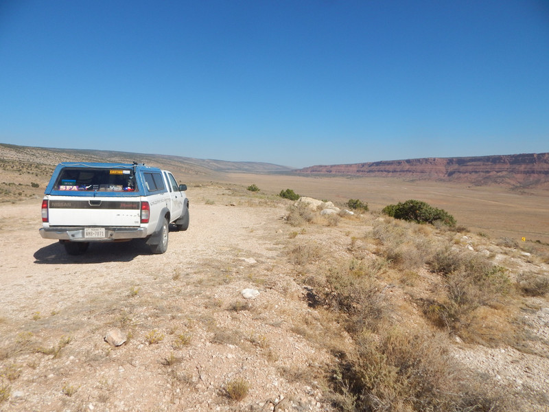
Driving down US Hwy 89A, I passed a nice scenic overlook. About 100 meters downhill I made my stop on an unmarked scenic overlook on a rough dirt road leading to a nice free legal camp. From that location you can see House Rock, an old trading post and post office. Driving downhill the highway leaves the Kaibab NF (and the Kaibab Plateau) just before reaching House Rock; an old trading post and post office. The dominant geologic feature there (and to the Colorado River) is the Vermilion Cliffs.
I drove to the Town of Marble Canyon by Marble Canyon of the Colorado River. The East side of the river is the Navajo (Native American) Reservation. The National Park Service turned the Navajo Bridge into a nice walking bridge about 900 feet above the river, after the new highway bridge was built. (A few times in the 1980s I drove over the very narrow Navajo Bridge.)
I drove South on US Hwy 89A in the Navajo Reservation to Bitter Springs where I joined up with US Hwy 89. Driving South I made a
break at the Town of Cedar Ridge. In the 1980s the wooden Cedar Ridge Trading was standing until a fire burnt down that structure leaving only the block foundations and the well. Southbound at the Town of Cameron I drove across the bridge over the Little Colorado River.
I drove through the Coconino National Forest on to Flagstaff, Arizona where I got gasoline, ice, and food; getting ready for my next camp near Sedona, Arizona.