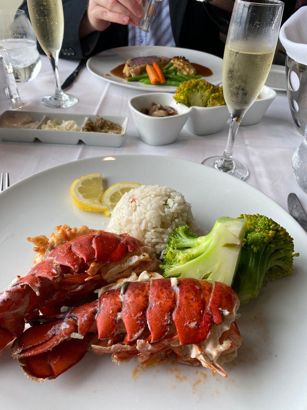
After spending an uneventful weekend in Townsville following my Whitsundays sailing trip - during which most of my time was spent catching up on all the action I had missed from the Euro 2020 football championships - I took a coach five hours north to the backpacker mecca of Cairns, where two of the best years of my life were spent in days gone by. My timing couldnt have been better, as the very next day Townsville was sent into lockdown; while Cairns was being inundated by families taking advantage of Australian school holidays.
Unfortunately my arrival also coincided with some unseasonal wet weather (dry season, my arse) so my first few days in town were spent in a sort of suspended animation, wishing I could get out and explore the surrounding area but instead spending most of my time at the hostel - with the exception of my nightly forays to the Night Markets for some cheap but tasty Asian food. Eventually a change in the weather allowed me to get out and do a couple of hikes to get some fitness back in my legs, and with a couple of rest days at Euro 2020 coming
up I decided it was time to take my backpack and get back out into the wilderness, with the nearby Wooroonooran NP (home to the highest mountains in Queensland, and covered in dense tropical rainforest) being my destination of choice.
So after getting up at 5am on Sunday (4th July) to watch England (unfortunately) thrash Ukraine in the last of the Euro 2020 I took a coach one hour south to the tiny town of Babinda, from where I intended to tackle the climb to the top of Mount Bartle Frere (known as Chooreechillum in the local Noongyanbudda Ngadjon language) which, at 1622 metres, is not only the highest mountain in Queensland, but also the highest in the country outside of the Australian Alps. And like its neighbour Mount Bellenden Ker just to the north, what these mountains lack in to some of Australias more southerly peaks, they make up for both with their dense coverage of lush tropical vegetation and in the fact that they rise straight up from the flat coastal plain, with a climb of 1500 metres required to reach either summit - an elevation gain that is offered by very few
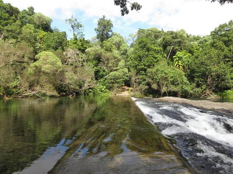
The only problem with this - apart from the tropical heat and humidity that has to be of course - is that this happens to be the wettest region in Australia, with an annual rainfall of between 5 and 8 metres at the base of the mountain, and closer to 12 metres at the summit, which is blanketed in clouds for eight days out of every ten! Not the best news if youre the sort of person who climbs mountains for the spectacular views from the top; but on the other hand it guarantees a supply of rainwater for the abundant waterfalls in the area - the most famous of which, Josephine Falls, sits at the base of Mount Bartle Frere, right near the trailhead for the climb to the top of the mountain.
With a healthy layer of cloud cover and a gentle breeze to keep me relatively cool, the 17km walk from Babinda to Josephine Falls turned out to be far more enjoyable than I had anticipated, as I was able to follow the train line instead of having to march along the shoulder of the highway for the first
ten kilometres. And all the while Mount Bartle Freres imposing bulk took centre stage, its profile slowly changing as I made my way south, passing the mountains eastern face as I went. Turning away from the highway in Mirriwinni, the endless fields of sugar cane that had bordered the railway line were eventually replaced by plantations of bananas, and I was reminded of my first ever trip up to this part of Queensland back in 2006, when every single banana tree in the vicinity of Innisfail had been snapped in half by the force of Cyclone Larrys winds. At least this years harvest would have no such problems.