Taking a reasonably early start we actually back tracked towards Reykjavk for the first couple of hours. As seen in yesterdays blog the view from atop Icelands most southerly point was and we didnt even try for an interesting beach just before Vik either.
We arrived at Reynisfjara Beach around 08.15 to find its car park almost full. As we walked across to the beach it became apparent that this was probably for the photo opportunities of the rising up between the cliffs and the stacks out to sea.
Reynisfjara Beach is regarded as Icelands most deadly beach because of sneaker waves. These occasional many more metres further up the beach and catch tourists off guard, dragging them to a watery end. We took appropriate care whilst on the beach so we thought, though as we were leaving it was interesting to overhear a tour guide telling his group not to go around the corner beyond the basaltic columns ie precisely where we, and dozens of others, had been standing. However, we are here
The obvious attraction here is not just the black sand beach but the hexagonal basalt columns that tower over the eastern end of the beach ie think Giants Causeway, but less of them and you cant walk over the top. This natural formation forms when molten magma cools slowly and cracks into, usually hexagonal, columns.
However what we didnt reckon on was seeing some preparation for some professional filming which reminded us of David Bowies Ashes to Ashes video.
Then on back to Dyrhlaey, Iceland s most southerly mainland point. What a contrast to yesterday. Still somewhat windy but with views to the horizon, be that the extreme stretch of beach disappearing westwards to the distance, or inland to the Mrdalsjkull ice fields.
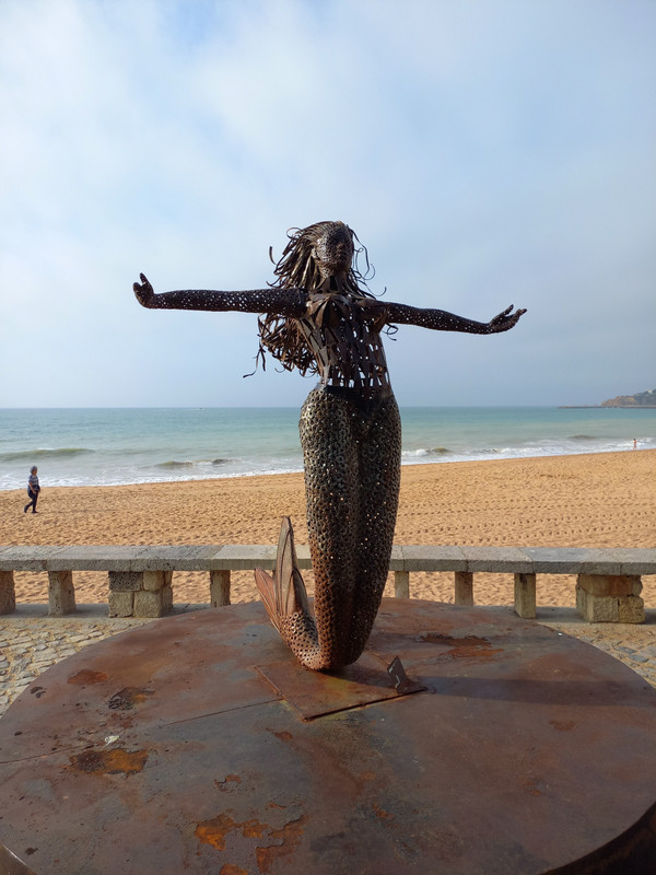
We returned to Vik, calling at the pretty red roofed church on the hill above town. This was the policemans office in the Katla TV series we referred to yesterday. Lovely view over the old town and of the three Troll Stacks just out at sea.
After a quick coffee stop at the Old Skool Bus, which roasts its own coffee, and where Paul befriended the resident
- on the plain between the towering inland cliffs of the interior plateau and the sea somewhere off to our right, the plateau edges gushing with numerous waterfalls, or
- was passing over vast glacial flood plains cross crossed by innumerable fast flowing river channels, or
Of the latter, there were many miles of little volcanic rock pillars, all natural but looking something like the pebble piles that seem to litter beauty spots these days.
Of more interest though was the Katla Geopark. This was an area of moss covered volcanic hillocks, stretching for miles in all directions.
The hillocks - not the moss - date back to the Laki eruption in June 1783, when the Grimsvotn volcano blew. The lava from the eruption travelled out 65 km from source, nearly to the sea, and was one of Earths largest lava flows of the last 2000 years. For whatever reason it cooled in the form of these hillocks.
significant blow it produced a major cloud of toxic gas - fluorine and sulphur plus fine ash. This cooled the climate during 1783 to 1785, destroying crops. Icelands population dropped by 20% and there was consideration of total evacuation to Denmark.
This acid rain and ash made it to Europe mainland and as far as Russia and Asia. Specifically it affected the summer in Europe in 1783 causing poor harvests and famine. And, it was this famine which was a primary cause of the French Revolution, of let them eat cake fame. So you could say....
At Fjarrgljfur - Im loving that autospell is actually offering me many of these Icelandic names - there is a river - cut gorge that provides, up top, a delightful 2km scenic walk. Short, but nice to stretch the legs. Around 100 metres deep it ends (or starts) with a pair of waterfalls dropping from the plateau.
After a brief stop at the Hamrafoss Waterfall - more of a cascade - we looked in on the end of the Svnafellsjkull Glacier and its small glacial lake.