A couple of years ago while tackling Mt. Kerkis on Samos there was an incredible view of Ikarias long ridge running nearly the entire length of the island. Back in the day Ikaria had a reputation as an isle exile and is still currently known as a blue zone, i.e., a place where many people live long lives. While I did not run into any there were, of course, a couple of hikes that I wanted to do on Ikaria.
The first was hiking from Raches down to Magganitis where I would hopefully catch a boat to Agios Kirykos for a ferry to Samos. Because the local bus schedule is a mystery and hitching is hit or miss, the hike down to Magganitis was actually the only way to guarantee traversing the island from north to south. On the south side of the island, Ag. Kirykos is one of Ikarias 2 principal ports with Evdilos on the north being the other. Ferries from Athens typically arrive at one of the 2 ports times per week, less out of season when I was there in October. I was extremely lucky with the schedule as I could arrive in Evdilos on a Friday, hike down to Magganitis Monday (much
easier to hike down with my full travel backpack than up), catch the local boat to Ag. Kirykos Wednesday and finally a ferry to Samos Friday. Also had to squeeze in a hike to Mt. Aetheras from Ag. Kirykos one of the 2 days there.
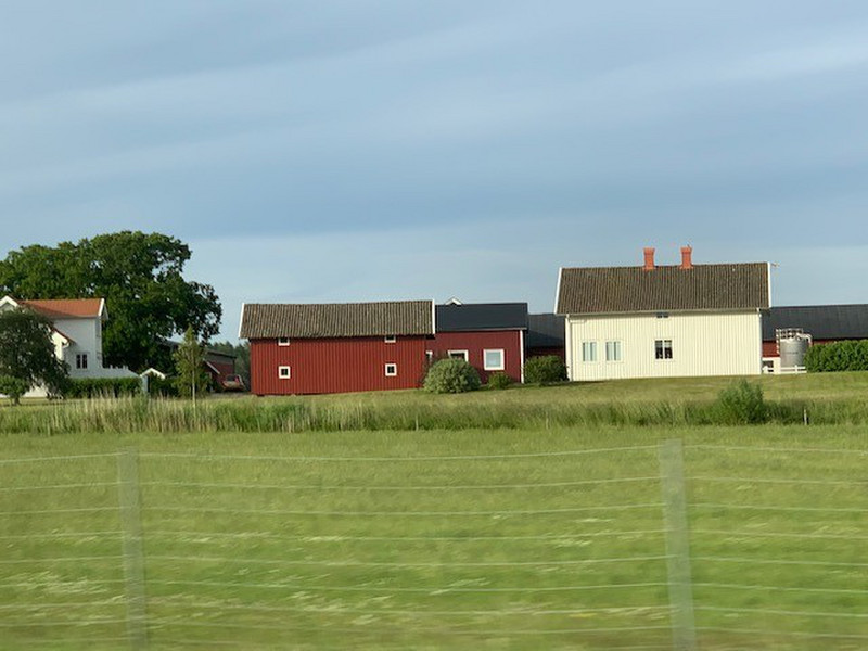
Monday morning my host Haris - from the appropriately named Haris Apartments - was nice enough to drive me to Erifi, a farming village high on the Ammoudia Plateau well past Raches. Once the road became impassable, I started to hoof it and took Haris mobile number so I could text him upon arrival in Magganitis to assuage his concerns about my solo hike. There was a portion of the well maintained trail that had been scoured by a serious landslide but other than that the hike was fairly pedestrian and only took a bit more than 2 hours at a leisurely pace. There was no water on the hike but the 1½ liters that I brought was enough since it was overcast and cool.
Once I arrived in Magganitis the weather forecast for later in the week deteriorated so much that many boats across the entire Aegean were canceled for the Friday
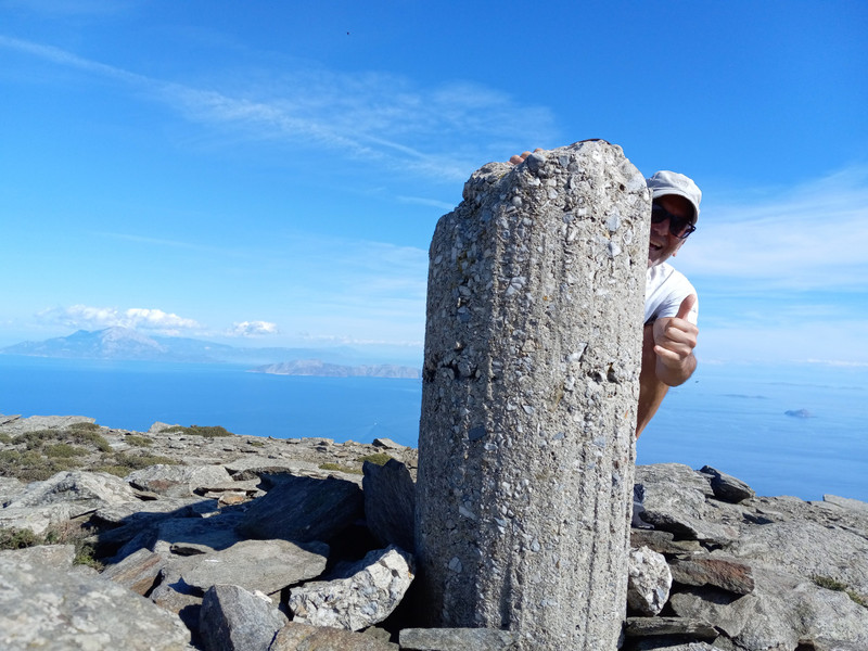
that I was planning to leave Ikaria for Samos. Fortunately added a ferry from Ag. Kirykos to Pythagorio on Samos for Thursday. With that wrench thrown in my plans I was able to weasel out of the second night of my in Therma (close to Ag. Kirykos) so I could catch that late addition ferry. The only other issue was having only Wednesday afternoon (Magganitis boat arrived ~10:00 a.m.) to tag the islands high point, Mt. Aetheras. Before dumping my pack and setting out for the hike, I scarfed down an enormous €8 breakfast at Stou Volika in Ag. Kirykos. I then met Nikos at the hotel and profusely thanked him for letting me cancel the 2nd night because of the new boat schedule. Stuffed from the breakfast I set out for the summit with only a Clif Bar and 1½L of water. Most of the hike was along the roads and there was an old, overgrown shephards path up to Tsouredes from Lardades which I took as a scratchy short cut. There was one last village to pass via the road then it was all trail and easy off trail to the top of Ikaria at
1037 m ASL where the views were incredible down to both north and south coasts, Samos, and Fourni Islands. Near the summit was a small herd of sheep but I thankfully did not encounter their psychoticly protective sheep dog as I had on previous pasture hikes in Albania, Kosovo and on Samos. On the way down I stuck to the roads in the hopes of catching a lift down to ios (as I was told the locals call Ag. Kirykos). No luck but it wasnt long until I was inhaling a couple of chicken souvlaki pitas back in port at BBQ Diagonios, €2.80 each and really good. Overall for the hike I left Therma at 12:00 p.m., hit the summit at 2:42 p.m., left after about a half hour, and was back in Ag. Kirykos ~5:30 p.m.
Unspoiled, low key island best explored with a car.