We slept in a little due to the time change from the last week, so we werent riding until around 9am. Out of Fenton Georgia, our route took us immediately onto a winding country road past the local golf club which was in pristine condition. Manicured tees and fairways and a Mansion of a Clubhouse. It looked very upmarket for a country town.
This road took us through another forest interspersed with small groups of houses. The same mixture, some opulent mansions, ordinary houses and trailer homes. Mostly everything was pretty neat and tidy.
Soon we were back on a gravel road and had shifted back to the time zone from yesterday so suddenly it was just after 8am. (GPS automatically changes times)
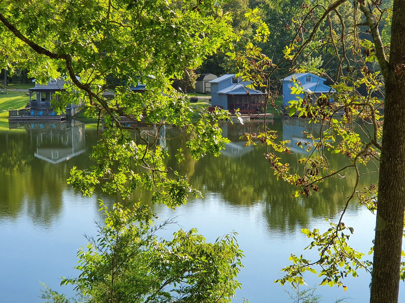
We came to a small lake which was an idyllic setting with 3 or 4 holiday houses built out over the water. During this part of the forest we, as usual, encountered deer but fortunately no incidents. After a while we passed 3 hunters in camo gear getting their rifles & gear out of their pickup ready to hike into the forest to hunt & gather.
at a sign board that explained that there had been a major battle here during the civil war. The Yankees down out of the hills and the Confederates were lying in wait for them. Many killed. Just like NZ not all our history is pleasant but it is what it was!
The roads here varied from smooth fast gravel to bumpy gravel and the worst was sealed stretches that were reverting back to gravel through no maintenance. There were potholes that you didnt want to drop a front wheel into as you could be on your way to China – we didnt have maps for that area.
Some of these roads we were on changed to no more that tracks with long grass growing in the middle. Meeting a 4 wheel drive at one point we had to get off the road to let him through, it was narrow. There had obviously been some recent rain which has a good and bad side. The dust was dampened down but there were some large puddles, some covering the entire track. If you were leading occasionally this is heart in the mouth stuff as you have no idea
We were now passing farms with lush fields, expensive fencing and extravagant farmhouses but hardly any stock. A mystery yet to be solved. Some maybe just growing grass for winter feed as we saw hay rolls here and there.
At one point we were on a very gnarly, narrow rocky gravel road for 10 miles (16kms) that was probably the 2nd gnarliest we had encountered since the start of the TAT. This bit road had everything, switchbacks, ruts and loose rocks so, alert you had to be. After a total of 120 miles (200kms - around the days point) we arrived in the small town of Dalton for lunch and gas. Dalton was more an intersection than a a town but had gas stations and fast food outlets.
After lunch our route took us back into forest interspersed with a few cropping areas for around 30 miles. We then entered a wilderness area which is part of the Cherokee National forest. This road was an adventure riders dream, winding, rocky, with plenty of bumps and ruts. The scenery was fantastic. Towering
trees and a river with many rapids. We were gradually climbing the whole time and we reached a maximum altitude of 3,650 feet (around 1100m) At this altitude it was still around 20 degrees air temperature but for a while were riding in a fine mist.
Descending this mountain, the road continued to be challenging especially wherever there was a gradient. Water had carved some decent ruts in places so you needed to be alert. Near the top we saw a 4 wheel drive with 2 kayaks on the roof so maybe there were parts of the river that were navigable.
Ian and I worked out from tracks that there had been 2 bikes travelling in the same direction as us probably within the last 24 hours. Maybe well meet up with them somewhere if they are doing the TAT.
After around 90 miles of this road we were out onto a highway and into Ducktown - a small town (ironically back in Tennessee) where we had booked a motel.