Lazy morning in Baker City. As we didnt have a long leg length planned for today, we kind of took our time in getting on the Road. We left Baker City close to 9:00 with our destination being Heppner, OR. We headed north on Highway 84 to North Powder and passed the 45th parallel. This is the halfway point between the equator and the North Pole. We stopped at a small truck stop to fuel up and get a good cup of coffee. (The coffee all week has sucked). Leaving there, we headed West toward Ukiah. John asked what route number were we taking, and I told him it didnt have one. That probably should have been a hint at what was We entered the Elk Horn Drive Scenic Byway. This was a lovely, well maintained two lane road. We passed through immense prairies and many cattle ranches in the first 30 miles or so. Then the road began to climb toward the Elkhorn summit at 7,392 feet. To say it was a little hilly would be an understatement. We climbed and climbed, with the road getting steeper by the mile. There were almost constant switchbacks, and we knew
that Diane must be loving it. Just when you thought you to the summit, we would traverse to another mountain and start up some more. Being we really love the back woods, we thought the scenery was great, with immense ponderosa pine forests, and steep overlooks to the mountains and valley we passed through. The smoke wasnt at a point where we couldnt see the surrounding sights, but it definitely put a crimp on it. There were quite a lot of hunting campsites along the way. We saw on hunter with a bow, so Im assuming it is bow season for Elk. At about the halfway point to Ukiah, we entered the Blue Mountain Scenic Byway. This was a continuation of the previous road, steep climbing, steep drop offs, and beautiful forests. We came across an area where a forest fire had ravaged years before. It was thousands of acres in area and looked like a tree ghost land, with tall charred sticks as far as you could see. It was amazing to see how it was regenerating itself, with carpets of young pine growing up in their midst. When we finally got to Ukiah, I was planning
on continuing West on a similar road through the Forest, but John mentioned that Diane wasnt too happy with the mountains, so we decided to head north on Rte 395 to Rte 74. We overshot the turnoff to Rte 74, and didnt realize it until we were about 5 mile beyond it. I pulled over as far as I could to check the map, and advised John we would have to find a place to turn around. Sandy said that as long as we were stopped she wanted to hit the bathroom. After a few minutes and a couple of logging trucks wizzing by, I decided we were in the road a little to much so I started moving out at a slow pace. I then hear a yell from the rear saying shes still not done. There was no turning back now, so I yelled for her to watch out for the waves. I thought it was funny. Turning around a 30 RV on a 2 lane road with drop offs is not for the faint of heart. I found a short cut out to a fence line, and we managed to back and forth our
way around. Well, just when it looked like we would have normal highway to our destination, we turned west on Rte 74. We were no longer in forests, just prairies and ranch land as far as you could see. It was a well maintained road, but still had a lot of climbs and descents with switchbacks constantly needing to be navigated. About 5 miles from Heppner, we started down the Mother of all Switchbacks. This was the steepest descent weve had on the trip, with shear drop offs on the left side of the Rvs. Getting to the bottom, I could have taken a nap waiting for John and Diane to make their way down.
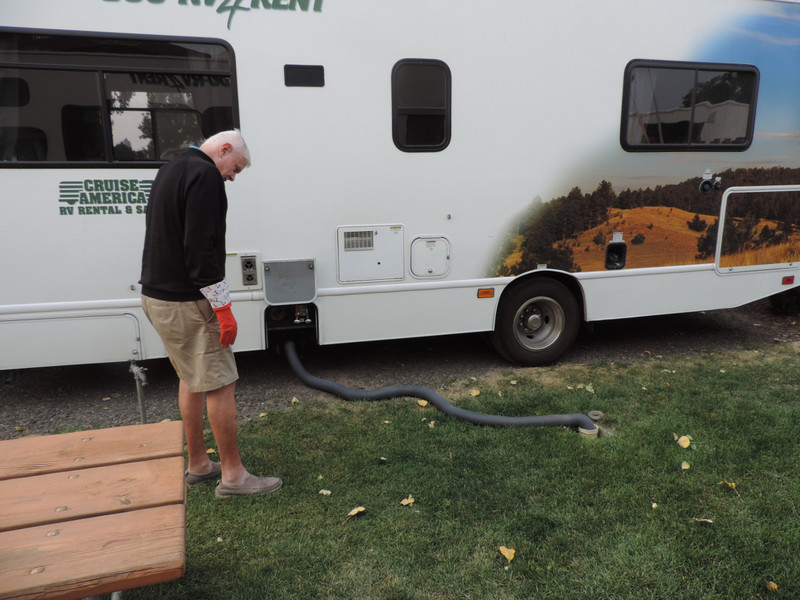
After a quick stop at the super market for some things, we called the RV park for directions, as the address we had didnt seem right. The owner gave us some directions, but also gave us an address that I could plug into the GPS. I started following the GPS, with Sandy saying she didnt think that was the way the woman had said.