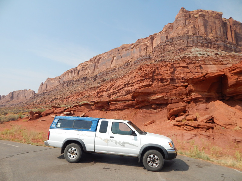
I drove across the Colorado River on the North side of Moab, Utah about fourteen miles NW on US Hwy. 191. Then I turned SW on US Hwy. 313 through BLM (Bureau of Land Management) property. My destination was Canyonlands National Park Division). I wanted to visit the great overlooks there to Grandview Point, then walk the trails on top of the large mesa rim. Also my plan was to drive the narrow dirt Shaffer Trail down to the White Rim Trail to enjoy the colourful canyons going upward, and downward to the Colorado River. Then I would drive down the Potash Road and make my camp on BLM land. (I never camp on National Park campgrounds cuz of their many silly strict rules, and possible harsh enforcement.) The fault of my plan happened when the National Park Service would not answer their phones or call me back; so I had no critical information needed.
Things went well driving through the BLM on Utah Hwy 313 on the paved switchbacks up to the top of the large mesa. There the BLM had a scenic view parking lot for the neat short walking trails to view the Monitor & Merrimac
Then Utah Hwy 313 went on to Dead Horse Point State Park; and I drove right on to Canyonlands National Park. (My first trip to Canyonlands in the 1980s the park had a dirt road with little visitation.) After entering the park I saw a very long line of cars (over a mile) sitting there with no movement. I made an and drove back to the BLM land.
I was driving back on the mesa and turned East on a dirt BLM road to the Gemini Bridges. I passed an interesting canyon on my way to the parking area for the natural bridges. There was a good walking trail to the natural bridges marked with rocks and paint stripes. I enjoyed this site and interacted with some other visitors.