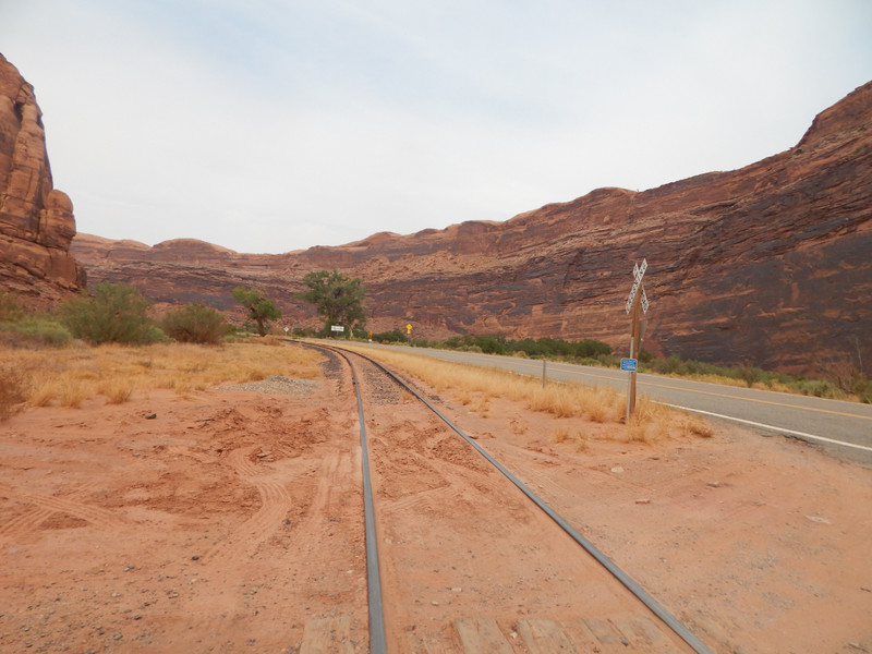
The Potash Road includes the paved Utah Hwy. 279 (West of Moab, Utah) to the Potash Mine main facility by the Colorado River. Then the private mine dirt road continues South West where the BLM rough dirt road goes upward through the Colorado River overlook; then up to the Canyonlands National Park. The Potash Road officially ends at the junction of The Shaffer Trail and the White Rim Trail in the National Park.
I drove down the steep canyon of the Colorado river then past the Potash Mine land. The dirt road got progressively worse. I drove up past a cattle guard where the BLM land started. About 100 meters into BLM land the BLM sign informed me that there was no legal camping past that sign. So this narrow pie shaped strip was to be my camp for the night.
I was burning daylight and not ready to make my camp. I drove up the very rough BLM road to a Colorado River overlook about 300 meters above the river. I spent some time enjoying the view; then drove downhill to my BLM camp for the night. There was some traffic there until a few hours after sunset.
Some college students made their camp there; but nicely parked away from me to give me backcountry privacy. I enjoyed the cool summer night.
The next morning I had my long coffee break. I interacted well with the college students and we chatted for a while. I wanted to go up to the White Rim Trail in Canyonlands N Park. I had a legal park pass for entry. I herd a rumor that a free backcountry pass was required, so I drove back down the Potash mine road.