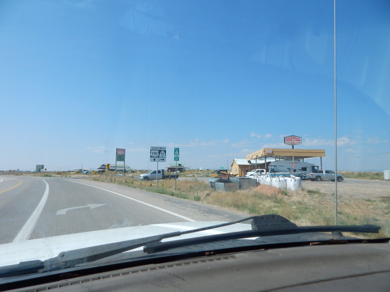
From the South side of Blanding, Utah (US Hwy 191), I turned West on Utah Hwy 95. I drove about 15 miles to Comb Ridge (a geologic monocline) but did not have the time to explore it on this trip. About 25 miles West of Comb Ridge I turned NW on Utah Hwy 275 towards Natural Bridges National Monument. After about a mile I turned North on San Yuan County road 228 going up to the Bears Ears pass where I would camp for the night. This narrow dirt road (without guard rails) was well graded and only a little bumpy. (If somebody drove off that road that would be the end of them.) This is BLM land with free legal backcountry camping. This was an enjoyable drive for me up to my camp at the pass between the two Bears Ears.
My camp (just inside the Manti La Sal National Forest) had a very good view, and was peaceful with a gentle warm breeze. From my camp was a USGS bench mark at about 8500 feet elevation. The sign said the Ears were about 9000 feet; making the ears about 500 feet above my camp. The National Forest road
went North to the Abajo Mountains and other canyon locations that were poorly marked and possibly hard to find the way back to a paved road. A few trucks made a stop near my camp, and I invited them by my camp so they can walk the foot trails and enjoy the views. Before dark the trucks were gone and I had my solitude for the night.
The next morning I had my long coffee break. Later I had an enjoyable drive down SYC 228 then off to White Canyon on Utah Hwy 95.
