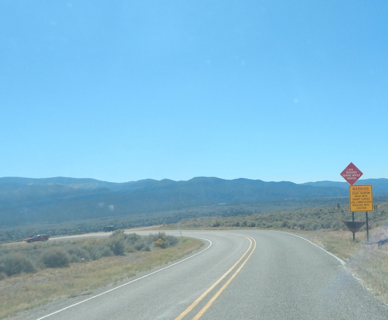
I turned on New Mexico Hwy 567 and drove to Carson, NM. I think that town was named for Kit Carson. They have an active post office. I had to stop and check out this old antique car body. I dont know, but I think it is a model A Ford. With no stop signs it was quick to get on to BLM (Bureau of Land Management) land; and a very fun but careful drive down the dirt road into the Rio Grande Gorge. After about a mile of switchbacks, you get to the to the relatively new bridge over the Rio Grande River. In this area everything was open free for day use including launching rafts and kayaks for downriver adventures. There are some pay camping areas that are low costs, and fairly private. (Note: All the land on the East Side Of the Rio Grand River was clamed by the Republic of Texas from 1836 through 1845.)
I was walking by the river by the boat launch area I happened to see some man made structure up a hill about a hundred feet high, on the ROT side of the Rio Grande River. I drank a lot of
cold water and tried my luck to climb up that hill. Well, I may have bit off more than I could chew. I was climbing up a steep slope of loose dirt and rock. There was lots of plants to grab on to for support; but they all were covered with thorns and a hazard to me. I got to the top of that hill with only some miner dermal perforations. I found on top the remains of about eight decayed structures that appeared to be an old abandoned settlement. Long ago they used the local rocks and made their cement from some limestone. Several of the structures I found the remains of a fireplace chimney. I did a photo shoot there and caught a few pics of the old settlement with the new Rio Grande bridge below.
Discussion: I could not find any information on the internet of this settlement. I contacted a New Mexico Historical group, and they had no record of the old settlement. I estimate that this settlement came after the land was claimed by the Republic of Texas; and was occupied when this area was part of the New Mexico Territory.
When I first got to visit here in the 1980s, there was no Rio Pueblo Primitive Area. That was part of the now New Mexico Hwy 570 that went up the Rio Pueblo de Taos, as a direct route to Taos, New Mexico. Then there was a major avalanche that covered the Rio and blocked access to Taos. Around that same time a flash flood took out the old Rio Grande bridge and access to this area was blocked off for some years until New Mexico replaced the Rio Grande bridge.
I drove down the paved New Mexico Hwy 96 down the Rio Grande River, to the small town of Pilar. At Pilar I reached New Mexico Hwy 68. Northeast on Hwy 68 was an easy route to the South side of Taos; a very good place to get gasoline, groceries, and other supplies. I needed no supplies so I drove SW on highway 68 down the Rio Grande River. Then I found a route to my next camp in the Sangre de Cristo Mountains.