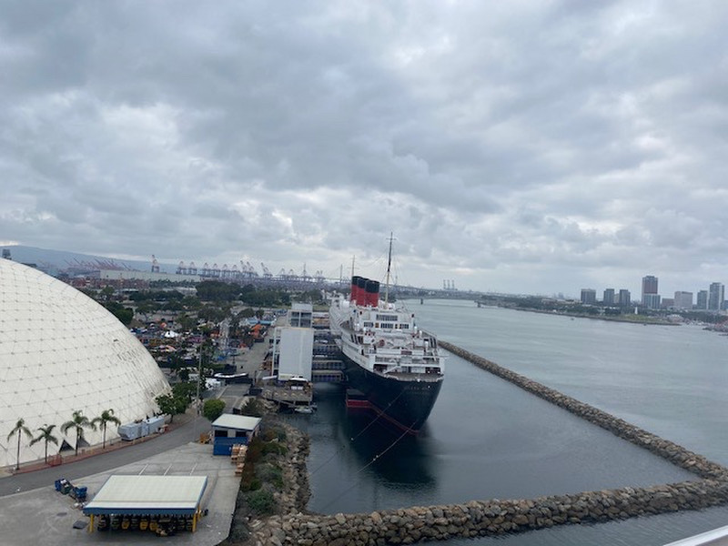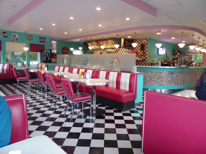
Monday - You can tell that this place - be it Iceland in general, or Egilsstair in particular - has a lot of American tourists given that it has a pretty authentic diner as a place to eat. We stopped off for a breakfast of american pancakes, maple syrup and bacon. All it really lacked was the waitress going around with a filter coffee pot for unlimited refills, and people, there were only half a dozen there including us.
For the morning we set off to the coastal town of Seydisfjordur, just 30km to the east of us, accessed over a pass road. We passed some strange art work on the way - see picture of painted concrete blocks. Apparently when it was first installed there was a small TV on top of each block.
Previously a fishing port (you dont say! I hear you say) it is now focused on tourism, and on a thriving arts scene. It was also the setting for the Icelandic murder mystery drama Trapped.
It is renowned for having one of Icelands largest number of original wooden buildings. However that number was reduced on
18 December 2020 by a major landslip, the largest ever known to hit Iceland. We werent aware of this until we came upon an explanation board whilst heading for a The slip took out 13 buildings, including 4 of the old ones, cut the end of town off from the centre, and caused £millions in damage. Fortunately no one was killed or injured.
The cache location was at a phone box art work installed the anniversary of the telegraph cable between Scotland and Iceland, 1906.
Back in the centre we walked the couple of main streets. The church is cute enough, this time without a red roof, but with the for Iceland - Rainbow Road outside.
On the way back inland we stopped briefly at more glacial formations. Giants Kettles/Moulin Potholes - caused by rocks dropping through crevasses in a glacier and then churning out a circular feature in the bedrock below.
With a drop of 118 metres they are Icelands third highest falls, but they are particularly famed for their photogenic qualities because of the rock banding formation behind. This also gave us the opportunity for a decent walk, as they are a 5km round trip from the car park. Thats all very well, but these guide books never seem to mention the altitude involved - an 850 foot ascent in this case. The red banding, between the obvious dark lava layers, is volcanic ash and scoria which have turned into a red clay soil.
Before an evening pizza we spent a pleasant hour at the Vk Baths. This thermal spa claims to be Icelands only floating thermal baths, sitting as they do at the edge of and in the lake. Their infinity pool edges are a great location from which to watch the sunset. No killer but nice cloud colours, but no pictures as we werent taking our camera or phones into that watery locale.
There were ladders hanging off the baths into the lake for those brave souls who fancied a cooling dip in the lake water. We resisted temptation on this occasion.
was planned to be a leisurely drive to a waterfall and then on to our lodgings. Hour & half / 45 minutes / 45 minutes for each section. What we had missed somewhere was the severe weather change that was taking place.
Setting off at 8am the temp was 5° and gradually got colder, eventually to 0°. The rain turned to sleet and then to settling snow. Most driving was now at 40 to 50 kph, at best, in a low gear, for around 3 hours, mostly ploughing a new furrow through the fresh snow.
By the way have we mentioned the Iceland roads? They dont do kerbs or raised edges, and mostly dont do barriers. But they do do drop offs, big time. Almost every kilometre of road is raised above its surroundings by at least a foot or two and normally by much more than that...
In the absence of much traffic, behind us towards, much of the time was spent with at least part of the car straddling the road centre, not that we could see
We drove past the waterfall turn - 30 km off the main road - deliberately, and carried on to our final destination, Lake Myvatn.