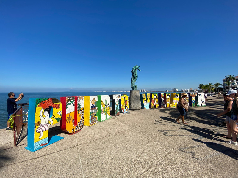
Today we left the caravan park at Bakers Creek and headed via Alligator Creek, Sarina and Koumala to Ilbilbie and towards the coast down Notch Point Road to the sugar cane paddock, which would be home for the next six months.
We had a lovely grassy area close to an old unused house and shared the area with Marty and Dianne next to the Marion Creek. Set up and Danie and Marty had their inductions. They are both drivers for Jason and Janine Borg. There are four drivers and Jason drives the harvester and work 6 days and 2 off.
We went for a drive around the area to get our bearings. We went first to Notch Point, a free camping area. The Notch Point beach is 1.8 km long, faces due east and is bordered by low, cleared headlands, together with a creek running out against the southern headland. We only went here the once as there are a lot of campers there and the rubbish around the area is pretty aweful. We later learnt that the farmer here used to put out
bins and empty them but the campers rarely used them preferring to just leave their rubbish when they left!
Next, we went to check out Greenhill (pop 160) and Cape Palmerston National Park. The land in the locality is almost entirely used to grow sugarcane. There is a network of cane tramways in the western part of the locality to transport the harvested sugarcane to the Mulgrave Sugar Mill.
Greenhill is where we take our rubbish to the Waste Management Facility which is only open certain days and only available to residents.
Green Hill is at 131 metres above sea level. The hill is the remnant of a volcano that erupted about 15,000 years ago. It is believed that the volcanos eruption altered the course of the Mulgrave River so that instead of having its mouth on Trinity Inlet, the mouth directly onto the Coral Sea some 40 km further south.
Just back down the road is the turn off to Cape Palmerston NP which is accessed by 4 wheel drive only as the road leads straight onto the beach and we loved the area and went fishing many times during our stay. There are
It contains a land area of 17,700 acres and has 28 km of coastline on each side of the Cape Palmerston—named by Captain James Cook in 1770 after Viscount Palmerston, a Lord Commissioner of the Admiralty. Within the park is the 344 m Mount Funnel.
The park contains mangrove trees, dunes, woodlands, grass, and wetlands. It is home to the threatened water mouse species, and hosts numerous birds. Three other rare or threatened species have been identified in the park. Birdwatching enthusiasts can enjoy the view of ospreys and sea eagles hovering over their heads, and wood swallows in flowering grasstrees. We saw all three.
From here we headed to the Bruce Highway and went south to Carmila (pop 333). Carmila is situated approximately 65 kms south of the town of Sarina. The North Coast railway line passes through the town which is served by the Carmila railway station. The Bruce Highway passes through the town as well. The major land uses are sugar cane farming and cattle grazing. Professional fishing occurs off the coast.
east of the locality of Clairview is relatively flat (at or just above sea level), while most of the centre and western part of the locality is hilly, up to 500 metres. The coastal flats are partially used for grazing while the hillier land is undeveloped. Clairview has a natural sand beach along the coastline. The town of Clairview is in the corner of the locality and consists of a strip of housing on the seafront.
The Bruce Highway (from Brisbane to Cairns) passes through Clairview from the south) immediately beside the town of the Clairview and is one of the few places on this coastal highway where the sea is actually visible from the road. The highway then continues north on a more inland route into Carmila. Clairview is popular for fishing and catching mud crabs. The waters off Clairview are a protected area for the endangered dugong.